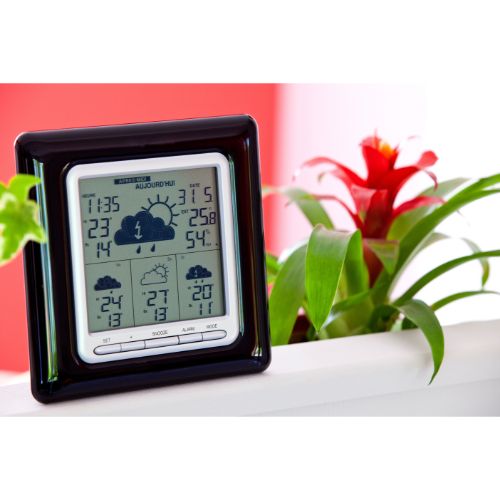
For many of us, the days of sitting in front of the television every evening to catch the news are long gone. And while plenty of news stations still do decent numbers and have enough regular viewers to stay on the air, the Internet has come to surpass television as our culture’s source of both entertainment and (mis)information.
That being said, the structure of evening news reports is something that is difficult to come by online. This makes it easy to miss important bits of information, as many online publications tend to have their features spread out or otherwise completely omitted. So while you may catch wind of some of the more prominent headlines, things like your local sports results and tomorrow’s weather will often slip by unnoticed.
Luckily, you don’t need a meteorologist to tell you which way the wind is blowing, the amount of rain to expect, or how cold it is outside. With a little bit of time and effort – along with the information provided to you in this article – you will be able to read weather charts in no time at all. So without further ado, let’s take a look at how to read a weather station symbol so you can get learning.
What is a Weather Station Model?
A weather station model is a lot like any chart you may come across in your everyday life, in that it depicts a collection of data in a symbolic, universally-comprehensible manner. Meteorologists use these charts to collect various weather elements into one cohesive space. When organized into a series of charts, this also allows them to analyze various patterns in the weather, such as temperature, wind speed, and atmospheric pressure to name a few.
While you are more than likely to have a tough time taking your own measurements of the weather, reading the models that trained meteorologists depict in the charts is fairly simple once you are acquainted with the symbols and their meanings.
Additionally, you will be able to read weather station models anywhere in the world, given that they use an internationally recognized coding system that has not changed in almost a century.
The Most Common Symbols of Weather Station Models
Weather station models use the same basic series of symbols to depict different elements of the weather. Once you are acquainted with this fundamental “alphabet”, you should have no trouble reading weather station models.
Plotted Winds
Both the wind speed and direction are depicted through a series of staves (or posts) and flags or lines. The central image in this symbol is the circle to which the staves are attached. The direction the staff meets the circle shows the direction of the wind. Try to keep the different points on a compass in mind.
Attached to the staff is a series of lines and flags, which measure wind speed in knots. (10 knots is equal to 12 m/h, for example). A flag is equal to 50 knots, a full line is 10 knots, and a half-line is 5 knots. A lack of any lines or flags on staff means that the wind speed is less than 5 knots.
Lastly, if there is no staff attached to the central circle, a second outer circle is drawn in its place which indicates calm winds.
Temperature
Temperature is perhaps the easiest weather model element to read, as there is no real symbol for it. Instead, the temperature is depicted plainly by the number of degrees. The only real consideration here is whether your region measures temperature in degrees Fahrenheit or degrees Celsius.
Cloud Cover
The amount of cloud cover is also easy to read. The symbol for cloud cover reads a lot like a pie chart. The sky is depicted as a circle, and the colored “slices” within it indicate the amount of cloud cover. For example, a half-filled circle indicates 50% cloud coverage, while a completely filled circle indicates maximum cloud coverage, and so on.
Sometimes, the circle will not be filled at all which indicates clear skies. Other times, the circle will be split down the middle by a thin line with no coloration – this indicates relatively few clouds.
Dew Point
Much like the temperature, the dew point is easy to read, being just another number displayed below the temperature. The dew point indicates the temperature at which the air would be cool enough to become saturated with water; therefore, it will never be greater than the temperature.
Additionally, you can get a pretty good idea of the relative humidity through this reading. If the dew point is close to the temperature, it means that the air is gaining moisture.
Sea Level Pressure Trend
Sea level pressure trends are depicted through a series of lines indicating the rising and falling of the sea level. A horizontal line indicates that the sea level pressure is steady, while upwards and downwards lines indicate an increase and decrease in pressure respectively. Typically, you should see a combination of two or more lines.
Other Weather Station Model Symbols
Weather station models can feature a variety of different symbols too numerous to explain in detail here. Fortunately, most of them are fairly self-explanatory.
Some of the most common symbols you will encounter will be those for drizzle, rain, continuous light rain, continuous heavy rain, sleet, snow, thunderstorm, shower, hail, and fog.
Of course, these are just the tip of the iceberg, as there are symbols for every single weather occurrence.
Conclusion
As you can see, the reading of weather station models is a skill that need not be limited to trained meteorologists. As with anything though, it will take some practice before you can read these models without a guidebook at hand. If this sounds like a skill you want to acquire, we urge you to find your local weather station’s models online and read through some of them for yourself.
With a bit of time and attention, you will know how to read a weather station symbol with ease.
